



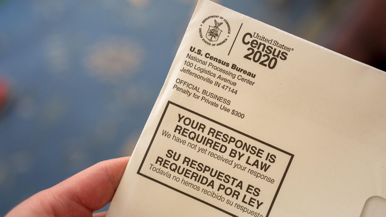

States eager to start redrawing their congressional and legislative districts have no right to force the Census Bureau to make up for problems delaying detailed population numbers until the fall, a federal judge has decided.
Ohio and Alabama have sued the federal government, demanding the required data for redistricting by the end of this month. Ohio's lawsuit was dismissed Wednesday by Judge Thomas Rose of Dayton, who said there was no way to compel census officials to do the impossible.
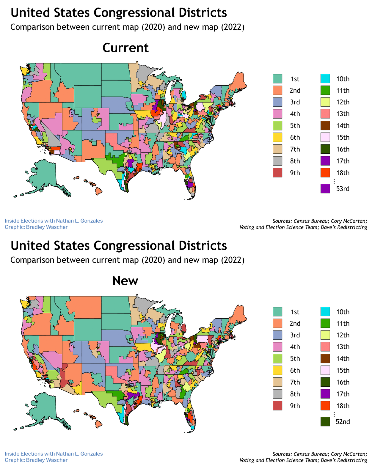
The ruling amplifies a wave of fresh anxiety about one of the main stressors on a functional democracy: Partisan gerrymandering, or drawing maps for maximum advantage rather than for competitive elections in compact communities, looks to be more egregious than ever this decade — a consequence of confusion and compressed timetables thanks to delays spawned by both nature and politics.
The first year of every previous modern decade began with the Census Bureau announcing how many House seats each state will have based on population gains or losses, followed soon thereafter with an ocean of granular data — how many people live in each neighborhood, by age, race and ethnicity — needed for drawing district lines. The reapportionment report has now been delayed to the end of April, with all the detailed population figures not following until the end of September.
Many states have laws requiring maps to be finished by then. And in the last nationwide redistricting, about half the 435 congressional districts had been drawn by October 2011 — mainly in the states with deadlines to accommodate candidate filing deadlines by the end of the year and primaries early in the new year.
The regular timetable is now in shambles. Politicians nationwide are unsure which constituents they should be appealing to. Legislatures are debating bills giving themselves an extension or asking courts to give them leeway. Some states are already considering postponing all the dates on their election calendars.
Several are contemplating a reliance on earlier population estimates in order to meet their deadlines. The Commerce Department has signaled support for this approach, as did the judge in the Ohio case. But knowingly using outdated head counts could subject those maps to legal or even constitutional challenges, spawning even more delays and electorate confusion ahead of the 2022 midterms.
Stresses are particularly acute in states that stand to gain or lose congressional seats, including the two that have sued. Ohio is destined to have to make one of its 16 districts disappear because of modest growth, and Alabama is within a few thousand people of seeing its delegation shrink from seven to six.
Like a plurality of states, redistricting in both of those is in the hands of Republican-majority legislatures, but the Ohio process is further complicated by the overlay of a partially independent commission. Both are among those required to have maps done before the Census Bureau says it will be able to provide the final data.
Only eight states will be using a process that is comprehensively free of partisan control, Colorado and Michigan for the first time relying entirely on independent commissions. Virginia's new system puts such a commission in the driver's seat with partisan players as a backstop, and New Mexico will have a system in with a commission making recommendations to the Legislature, which can amend the maps.
Republican Attorney General Dave Yost said Ohio would appeal. "If the state does not have standing to challenge the Census Bureau's decision to arbitrarily ignore a statutory deadline, no one does," Yost said in a statement.
The Census Bureau now says much of the population detail can be sent to state capitals by August and all the numbers can be delivered in a more user-friendly format by the end of the next month.
The two states' lawsuits were opposed by a coalition of cities, counties and civil rights groups, who sued the Census Bureau last year to prevent it from ending the 2020 census early, fearing such a premature finish would mean an undercount of Black, Hispanic and impoverished communities.
The Census Bureau said it needed the extra time because of delays caused by Covid-19 as well as a spike in hurricanes and wildfires, the civil unrest over systemic racism last spring and data processing problems. In addition, the bureau's work was whipsawed by the Trump administration's effort to supplement the census — and shape the apportionment numbers — with a supplemental headcount of people in the country illegally. As one of his first acts, President Biden rescinded that apportionment order.
The census data are used not only to determine congressional seats and Electoral College votes but also the distribution of $1.5 trillion in federal spending each year.