




Eguia is an economics professor at Michigan State University and volunteered for the 2018 Voters Not Politicians ballot initiative that produced the state's new independent redistricting commission.
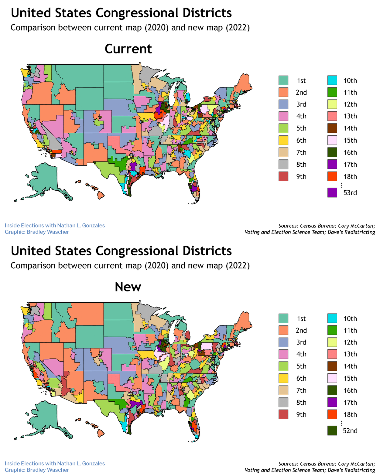
When the census results are released, states will use the figures to draw new boundaries for House districts and state legislatures. This process has been controversial since the very early days of the nation — and continues to be today.
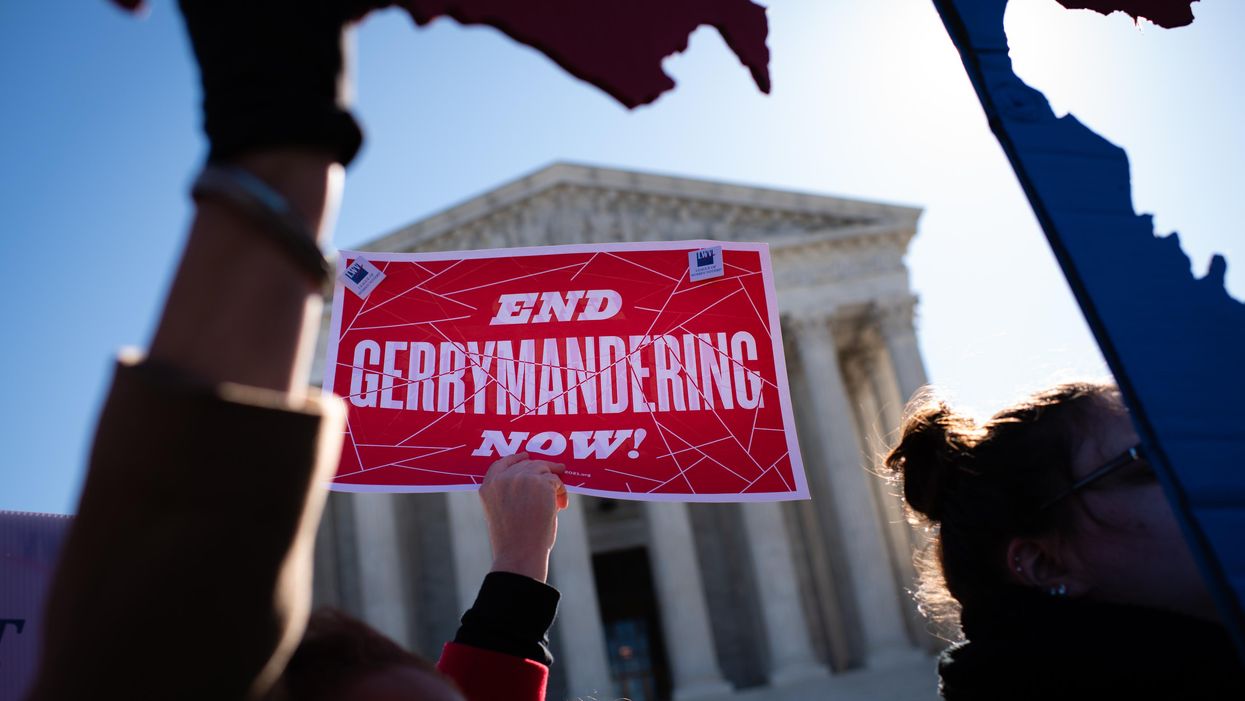
Throughout history, electoral maps have often been drawn to give the party in power continued political advantage, diluting the power of some people's votes.
Today, advanced math and computer algorithms analyze potential boundaries, making it easier to spot these unfairnesses. But there is a simpler way to combat this partisan gerrymandering — and it's based on a system used early in American history.
In the beginning, there weren't formal electoral districts. Instead, representation was based on counties and towns. For instance, Pennsylvania decided in 1776 that each county, and the city of Philadelphia, would be assigned state assembly seats "in proportion to the number of taxable inhabitants."
The Constitution declared in 1788 that seats in the House would be allocated to the states based on population. But it gave no guidance about how to fill those seats. Some states chose to draw district maps, with each district getting one representative. Others chose to grant the entire delegation to the party with the most votes statewide.
In the first half of the 1800s, states gradually shifted to drawing single-member districts. The ideal was for each lawmaker to represent an equal number of people.
New census data, available every 10 years, was useful for doing this, but many states didn't adjust the lines for population changes. As a result, newly developed regions with rapid growth found themselves with less representation than more established population centers with slower growth.
It wasn't until 1964 that the Supreme Court ruled all states had to draw congressional and legislative districts to guarantee each included an equal number of people at the time of the latest census.
At that point, the controversy shifted from the population deviations of districts to their shapes.
An unfair map can favor one party by spreading its supporters across many districts and concentrating opponents in a few. The 2018 North Carolina congressional elections, for example, saw Republican candidates win 50 percent of the votes statewide. But the GOP had drawn the districts, so the party won 10 of the 13 seats. In the three districts Democrats won, they scored landslide victories. In the other 10 districts, Republicans won, but with smaller margins.
Maps aren't necessarily unfair just because they deliver lopsided results. Sometimes supporters of one party are already concentrated, as in cities. It's possible for fair maps to deliver large Democratic wins in Philadelphia, Atlanta, Detroit or Milwaukee while the party gets only half the statewide votes in Pennsylvania, Georgia, Michigan or Wisconsin.
A better way to analyze a redistricting map for fairness is to compare it with other potential maps.
Making this comparison doesn't require knowing how individuals voted. Rather, it involves looking at the smallest units of vote tabulation — precincts, sometimes called wards. They usually have between a few hundred and a couple thousand voters; larger districts are made from groups of precincts.
Computers can really help, creating many alternate maps by assembling precincts in different combinations. Then past votes from the precincts are totaled to see which party would probably win. Such alternate results can shed light on the fairness of the map that gets adopted.
For instance, Republican candidates got fewer votes statewide than Democrats in the 2012 congressional contests in Pennsylvania, but the GOP won 13 of the 18 seats. Researchers created 500 alternative maps, which had Republicans winning eight, nine or 10 most times but never more than 11. Seeing that evidence, the state Supreme Court ruled the map violated the state Constitution's standards for free and equal elections. It ordered a new map, under which the state sent nine members of each party to the House in both 2018 and 2020.
A simpler way to evaluate districts is to imagine assigning seats as Pennsylvania did in 1776: The party winning the vote in each county or large town got seats in proportion to the location's population.
Comparing county results with a potential district's results will reveal any major difference between the imaginary and real results — and signal an unfair partisan advantage.
Take North Carolina, with 100 counties. Two years ago Republican House candidates got more votes in 72 of them, with 51 percent of the state's population. Under the 1776 Pennsylvania system, the GOP would deserve 51 percent of the 13 seats — six or seven after rounding. But any more than eight would be an unfair and artificial partisan advantage.
The map used in 2018, when the GOP took 10 seats, was also thrown out by the state courts as an unconstitutional partisan gerrymander. The map used this fall will send two new Democrats to the Capitol.
To be clear, I'm not proposing actually returning to the 18th century Pennsylvania methods. I'm proposing its potential outcomes be used to evaluate maps of electoral districts drawn with equal populations. If the results are similar, then the map is likely relatively fair.
This measure of partisan advantage is much simpler to compute than making up myriad alternative maps.
Evidence for that comes from taking the results in 41 states for the four congressional elections before 2020, then comparing them to what would have happened if seats were assigned to counties and major cities.
The result: The actual House maps created a 17-seat advantage for the GOP. The states with the most unfair advantages relative to their total delegation size were North Carolina, Utah, Michigan and Ohio in favor of Republicans and Maryland favoring Democrats.
Auspiciously, court rulings and citizen ballot initiatives in the past five years have led to redistricting reform in four of these states. Continued civic engagement can help to induce mapmakers to draw redistricting maps that guarantee fairer representation — starting next year.
A version of this article originnally appeared in The Conversation.