


Gorrell is an advocate for the deaf, a former Republican Party election statistician, and a longtime congressional aide.
In March, a map accompanying an article in The Fulcrum showed West Virginia with a finalized congressional map. As a longtime opponent of partisan gerrymandering, I feel obligated to step in where purportedly unbiased analysts have failed to review West Virginia’s new district lines.
Since Oct. 26, 2021, I have periodically monitored the Redistricting Report Card to learn which grade the Princeton Gerrymandering Project gives West Virginia. The PGP identifies and rates each state's congressional redistricting plans based on partisan fairness, competitiveness and geography.
But the Redistricting Report Card shows West Virginia as one of five states without draft maps even though, on Oct. 22, Gov. Jim Justice signed bills establishing legislative and congressional maps that will be in place until the 2032 election cycle. West Virginia became the fifth state to complete congressional redistricting, and that was six months ago.
As tracked by All About Redistricting, West Virginia is not among 16 states that face pending lawsuits related to approved congressional maps.
I find it mysterious that West Virginia has not been scored yet, despite having only two congressional districts for the next decade. The map is simply drawn, posssibly because the state Constitution requires that congressional districts be compact and contiguous, as well as preserve county lines.
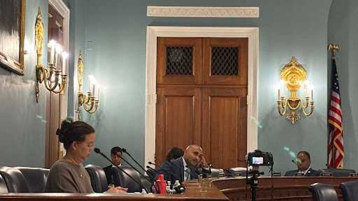
The PGP has not scored any congressional maps since March 18 and it is crystal clear the group will not score West Virginia, which is holding its primary today. So I, as a sixth-generation West Virginian, have to volunteer to analyze the West congressional map based on the PCP methodology for The Fulcrum’s readers.
County Splits: A+
The joint redistricting committee decided to keep counties intact for the 2020 election cycle. Historically, West Virginia had never divided a county between two or more congressional districts. The committee’s decision was supported by the 2012 U.S. Supreme Court ruling in Tennant v. Jefferson County Commission.
Geographic Features: A-
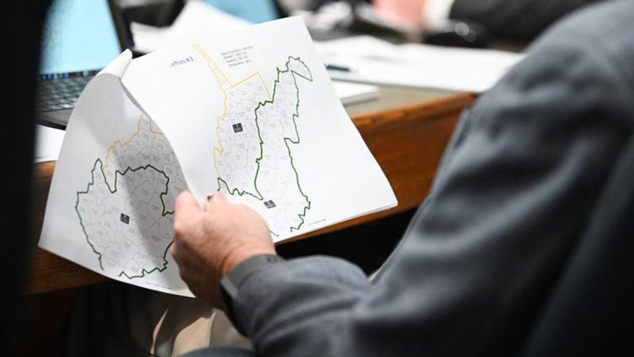
The question on creating the two congressional districts was whether to divide the state north-south, east-west, or northwest-southeast.
West Virginia is almost entirely mountainous. In fact, West Virginia has more mountainous land per square mile than any other state. Also, it has flat strips that lie along the major rivers.
Minority Composition: A+
West Virginia must meet two federal requirements for drawing congressional districts, including compliance with Section 2 of the Voting Rights Act of 1965 (prohibited discrimination based on race). As Owens Brown, a state senator and president of the West Virginia NAACP, told a joint redistricting committee on Aug. 24, 2021: “There is a heavy population of minorities in the southern part of the state. … That’s what we hope will happen.”
And it came to pass, as a result, 26 of 27 counties identified in the NCAAP’s proposal were incorporated into the southern district of the new congressional map.
Partisan Fairness: Incomplete
While redistricting in many other states is a hyperpartisan exercise, West Virginia has no problem with partisan fairness.
A veteran Democratic strategist, James Carville, told Vox on Jan. 27, "Understand that [Sen.] Joe Manchin is a Roman Catholic Democrat in a state where not a single county has voted Democrat [for president] since 2008. I repeat: not a single county has voted Democrat since 2008.”
When you drive through the Mountain State today, all you see would be hundreds of Trump signs and a few obscene Biden signs. Therefore, it is incomplete in grading.
Compactness: A+
The state is also required to draw congressional districts that are approximately equal in population and compact. The Senate Redistricting Committee compiled with the state code for “compactness” by selecting the a map with a deviation of 0.17 percent.
On the other side of the gold-domed capitol, the House Redistricting Committee adopted the map with a deviation of 0.09 percent.
The difference between the two maps was the handling of two counties. The Senate had Ritchie County in the southern district and Pendleton County in the northern district, and the House map flipped that.
The Senate agreed to the House map due to more compactness and minor deviation.
Competitiveness: Incomplete
As the state became heavily Republican, Manchin was the only Democrat in West Virginia's congressional delegation or holding statewide office in 2021.
There is a fascinating Republican primary race in the new 2nd district, where Rep. David McKinley of the old 1st district and Rep. Alex Mooney of the old 2nd district are facing off. This matchup is one of five House races involving two incumbents in the same district.
Communities of Interest: C+
Testifying before the joint committee on Sep. 17, I exclaimed, “I am a little disappointed that West Virginia is one of 23 states that does not have criteria for preserving communities of interest.” I proposed keeping gas-producing communities together, as well as coal-producing communities and others with solid economic links, to better serve those interests.
My proposed map would divide the state northwest-southeast. The adopted map happens to be a north-south shape, so it has split my “communities of interest” map into halves. Therefore, I am giving a C+.
Litigation?
West Virginia Mountaineers are always free while all five bordering states are entangled in the redistricting litigation.
“The people of West Virginia are a proud and independent people — typical of the best in American life,” John F. Kennedy said during a campaign stop in Charleston on Apr. 20, 1960.