Skip to content
Search

Latest Stories

Follow Us:
Top Stories

Will Maryland remap itself before Supreme Court acts?

The race is on to see whether a new, more politically competitive congressional map is adopted by the Maryland legislature before the Supreme Court decides if the current map is unconstitutional.

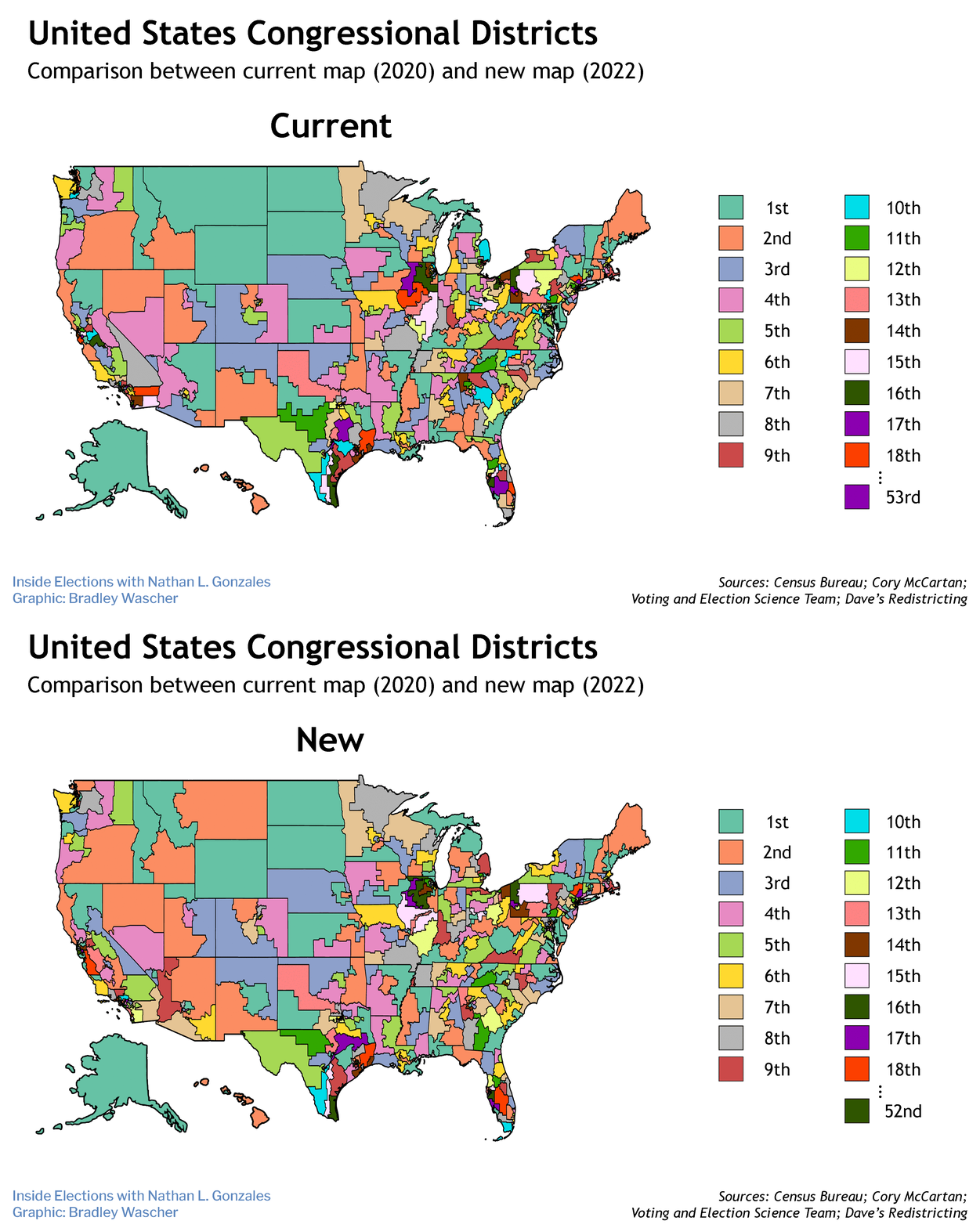
Last week, an independent commission created by GOP Gov. Larry Hogan unanimously embraced a plan to reconfigure two House districts encompassing some Washington suburbs. Even while leaving the rest of the state's sometimes incomprehensibly contorted boundaries intact, a cartographer ( redistricting writer Stephen Wolf of the liberal Daily Kos politics website) figured out a visibly clean way to give Republicans a reasonable shot at electing a second House member from the state.


He refigured the 6th district to cover the entire panhandle and stretch as far southeast as Germantown, with most of the rest of Montgomery County south and east of Gaithersburg falling in a new 8th district far more compact and contiguous than as currently drawn.

After a period of public comment, Hogan is on course to send the map to Annapolis on March 22. The solidly Democratic General Assembly would then have until its annual session concludes April 8 to accept or reject it. But two weeks before that deadline, on March 26, the Supreme Court will hear oral arguments on a potential landmark case asking whether the existing map is an unconstitutional partisan gerrymander because its contours virtually guarantee that only one of the eight House members from the state is a Republican – even though the GOP reliably wins 40 percent of the vote statewide.

That case is paired with a challenge to the map for North Carolina, where the GOP has held a 12-3 advantage in the congressional delegation all decade even though the total statewide vote for congressional candidates is split almost 50-50 each time. The court is being asked to decide if such maps can ever be drawn with such clear partisan intent as to become unconstitutional.


Read More

Woman holding out an empty wallet at a table.

Many Americans wrongly associate poverty primarily with Black and Hispanic communities. Explore how this misconception influences public opinion, politics, and anti-poverty policy.

skaman306 / Getty Images

More Whites Live in Poverty than Either Blacks or Hispanics - Correcting the Perception of Poverty

From observing people and politicians over the years—I can find no data on this—I have the impression that liberals as well as conservatives think that the typical person living in poverty is Black or Hispanic. The image most Whites have of people of color is someone who is poor—except for celebrities—with little education; they are not aware of many people of color who are middle class. On the other hand, they are not aware of many Whites who are poor and so they think their number is low.

Why is the perception of poverty important? The perception of who is poor has significant impact on the support for government programs that aid the poor. Given the extent of racism in this country, whether subtle or violent, (see my post, “Whether the Issue is Gun Violence or Inequality, It Always Comes Back to Race/Racism”), it’s not surprising that support for anti-poverty programs is non-existent among MAGA Republicans and for that matter has always been weak among Republicans; 45% of Republicans would even cut food stamp support. Their attitude is "it's your fault;" so government has no responsibility to help. They feel the causes of poverty are personal: bad life choices, drugs, lack of work ethic, and the breakdown of families—all negative perceptions of Black culture.

Keep ReadingShow less
The All-America City of San Antonio Collaborates to Address Teen Pregnancy and Other Issues
person in green pants sitting on white textile
Photo by Vanessa on Unsplash

The All-America City of San Antonio Collaborates to Address Teen Pregnancy and Other Issues

San Antonio, TX, has been working to reduce teen pregnancy for over two decades, making considerable progress through collaborations among the city, county, nonprofit organizations, and the University of Texas. A nine-time All-America City, one of San Antonio’s key community collaborations, SA 2020, harnessed civic muscle to create and achieve dozens of measurable goals, including a significant reduction in teen pregnancy.

The San Antonio Teen Pregnancy Collaborative (SATPPC) was formed in 2010 in response to news that Bexar County had one of the highest rates of teen births in the United States. The SATPPC brought together an impressive list of cross-sector organizations, including public entities, community-based organizations, and faith-based and secular institutions. The group’s overall goal was to reduce the Bexar County teen birth rate among females ages 15 to 19 by 15% by 2020, and it exceeded this goal even before that date.

Keep ReadingShow less
Anti-gerrymandering sign

Anti-gerrymandering sign

Bill Clark/Getty Images

Don't Hold Your Breath Waiting for Politicians or Their Consultants to Fix Gerrymandering

2018, a nonprofit worker in Michigan named Katie Fahey posted a message online asking if anyone else was tired of politicians drawing their own districts. She had no campaign experience and no political base.

Within two years, the ballot initiative she built, called Voters Not Politicians, had written an independent redistricting commission into the Michigan constitution. Hollywood eventually made a documentary about it, Slay the Dragon, which is a fairly accurate description of what she had actually done.

Keep ReadingShow less
Red rock formations in the "Valley of the Gods."

Red rock formations in the "Valley of the Gods" on April 22, 2026 in Bears Ears National Monument, Utah. Bears Ears has been a controversial Monument since it's creation in December of 2016.

George Frey / Getty Images

When Public Lands Become Real Estate

Last week, in his latest attempted liquidation of our shared heritage, President Trump signed two executive orders eviscerating protections for close to three million acres of our national monuments: Bears Ears and Grand Staircase-Escalante. From the Oval Office, a president who has never even seen these sacred sites reduced them by roughly 90%, dwarfing his 2017 attempt at a similar land grab by about a million acres, leaving only 300,000 acres of protected land. These cuts will directly threaten critical wildlife habitats, put nearly 100,000 irreplaceable archaeological sites at risk of destruction, and fracture an interconnected indigenous homeland that has been stewarded by Native tribes since time immemorial. To Trump, it’s just another real estate deal.

The Trump regime has tried to portray this set-up to sell off as an effort to restore public access. During the Oval Office photo op where the president signed the proclamations, he said of the monuments: “You can’t go hunting. You can’t go fishing. You can’t do anything. You can virtually not even walk on it.” That is, to put it mildly, a malicious lie. All your favorite forms of outdoor recreation—from hiking and camping to fishing and hunting—are allowed there, which Trump might know if he had ever visited the land he decided is not worth preserving. In fact, the Antiquities Act doesn’t limit ordinary public use but rather the extent to which an area can be subject to mining and drilling. So much for the land of the free. Trump wants to make it a whole lot easier for extractive industries and private development interests to privatize and pillage these sacred lands for financial gain. Home of the brave? Not an ounce of courage to refuse the fuel lobby when it comes to our public lands. At least the law is on our side. As the President of the National Parks Conservation Association put it, this is both “a betrayal to the American people and illegal.”

Keep ReadingShow less